

Whenever I pick up a fantasy novel, the map is always the first thing I look for. A well drawn map makes all the difference when you’re trying to bring an imaginary world to life. The people and places become more real when you can follow the heroes’ route through their world or when you can see where all the points of interest are.
I'm a firm believer that the map just as useful to the creator of the world as it is to the people reading about it, so when I began writing this story, I started with the map. (More than likely because I have an awful sense of direction and can barely navigate my own neighborhood let alone an entire world.
This particular world, though, has gone through a lot of changes since it's original inception.
The earliest version of this world was a hand drawn map on a sheet of notebook paper. A number of key details were there even in the earliest phase. Sadly, most of the earliest drafts have been lost. I know I have the notebook somewhere, but a good chunk of digital assets were lost to a pretty devastating hard drive crash 11 years ago that cost me just about everything (minus all the info I had committed to memory, anyway).
This printed map is one of only a handful of art assets I still have (but the associated Illustrator file is gone forever):
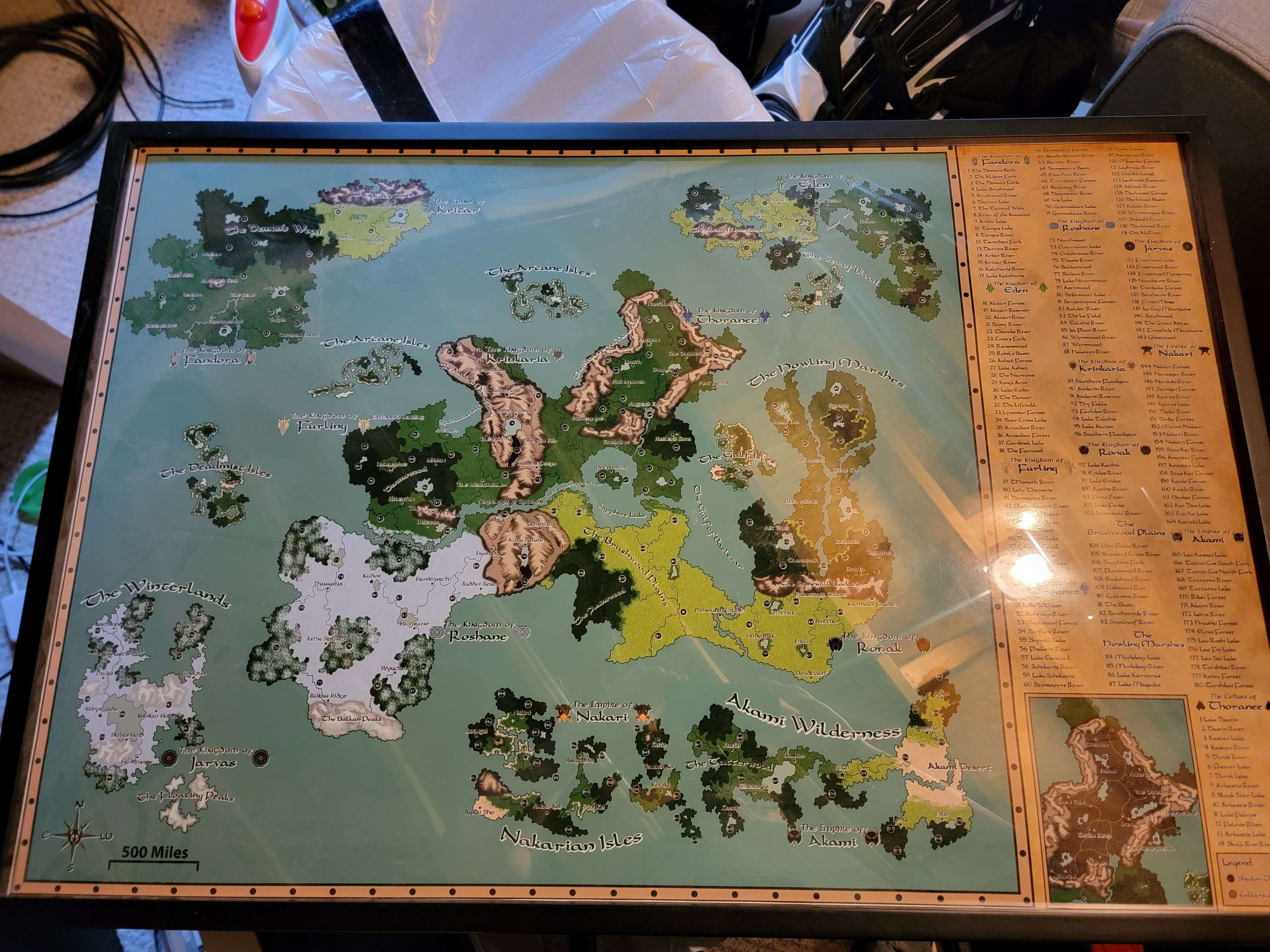
If you look close enough, you'll probably notice that the compass is backwards, so, honestly, it's probably for the best that this thing is dust. Out of those, ashes, I took yet another stab at drawing up the world using a combination of Illustrator and Photoshop.
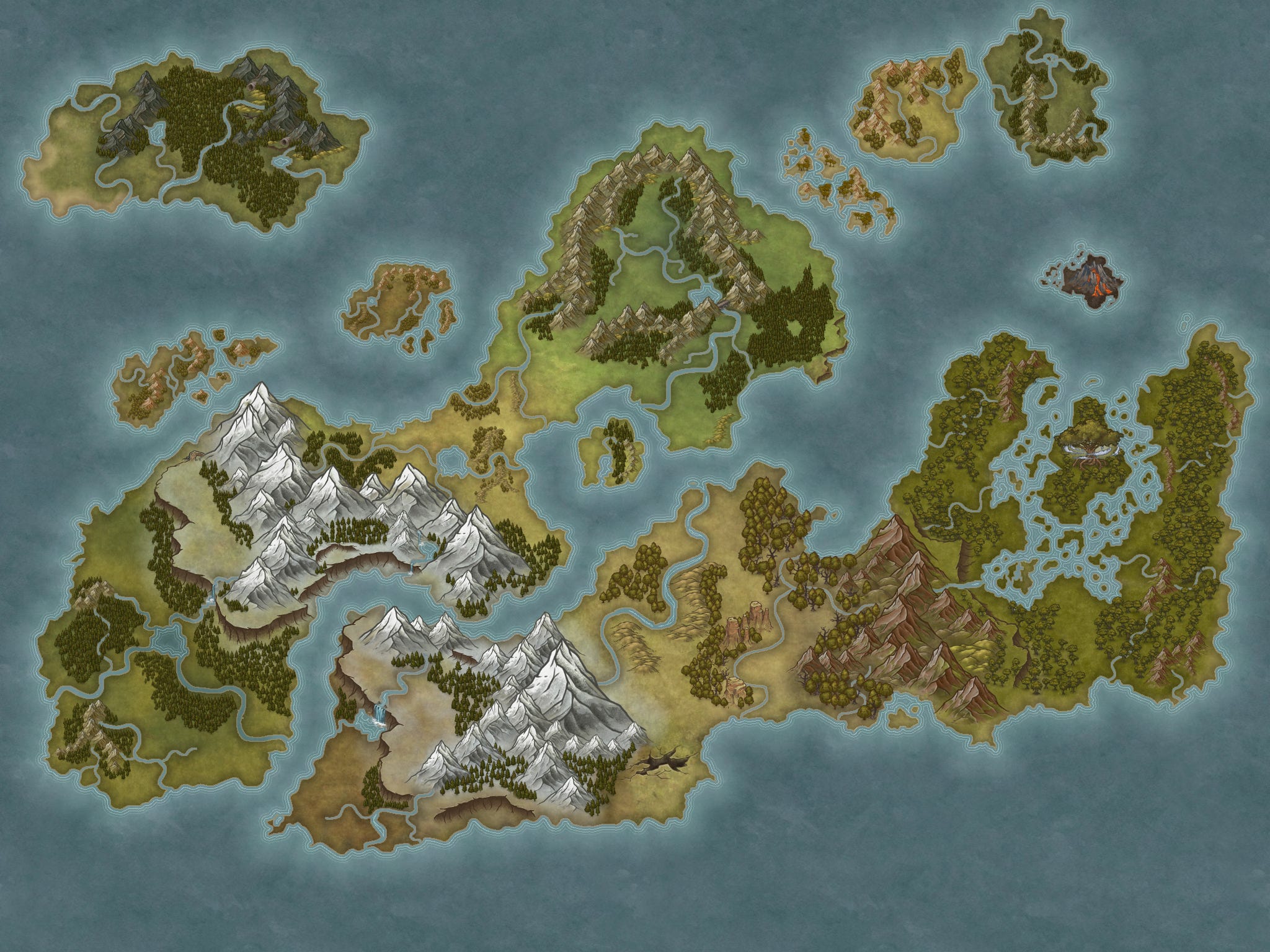
I was able to put together some really cool looking assets that were pretty close to the stuff I lost:
In working on this version of the map, I learned some Photoshop tricks to paint some interesting mountains, and was (mostly) happy with the outcome—especially for the Stonespyre Mountains around Thoranee.
The major problem with this pass, though, is that it is absolutely gargantuan.

The process of painting this map was kind of, uh, brutal. The “fully painted” image earlier in the post took a couple days to get right, and that was just a tiny little segment of this larger image. (Have I mentioned that I like to bite off more than I can chew?)
That massive blotch of green on the right half of the map is simply called “the Wilds" primarily because that was the easiest way to stop myself from trying to fill it all in. It's uncharted. It exists, and some explorers know about it, but no one's mapped it yet. (How's that for an in-canon “placeholder text?”)
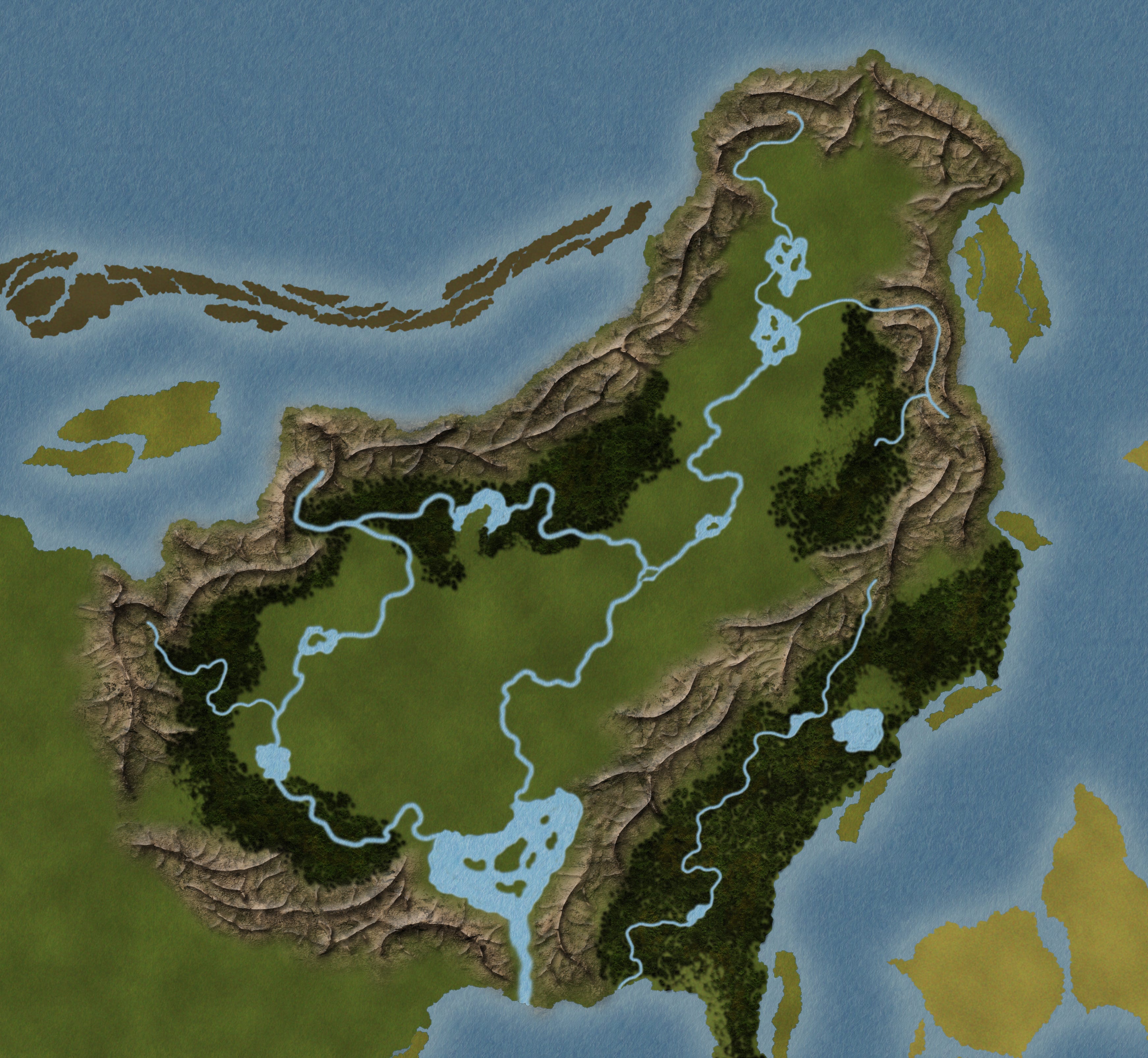
When I picked up this project again at the start of the year, the first thing I did was wrote that sample I posted a couple weeks ago. But the very next thing I did was draw up a new world map. Specifically, a smaller world map. One focused specifically on the Northlands (which is the region where this first novel is set).
These other areas are still out there, and I'll get to them eventually, but I'm trying really hard to avoid my usual pitfalls and focus instead on something manageable. To that end, I decided to not only redraw the world, but also to reduce the scale of it. The Northlands used to be comparable in size to the continental US, and while that isn't necessarily a bad thing, that is a lot of land for one person to fill with history. Thoranee’s history can be just as exciting with 4 or 5 cities as it was with 15, and I'll have an easier time keeping track of them.
Which brings us to the following image. This is the new (much improved, and significantly reduced) map of the Northlands:

Minus cities/roads, anyway. If I showed you those, you'd get some pretty big spoilers. If you want to know more, you'll have to subscribe to this substack (or, I suppose, wait for the book to be finished).